GIS Day provides an international forum for users of geographic information systems (GIS) technology to demonstrate real-world applications that are making a difference in our society.
The first formal GIS Day took place in 1999. Esri president and co-founder Jack Dangermond credits Ralph Nader with being the person who inspired the creation of GIS Day. He considered GIS Day a good initiative for people to learn about geography and the uses of GIS. He wanted GIS Day to be a grassroots effort and open to everyone to participate.
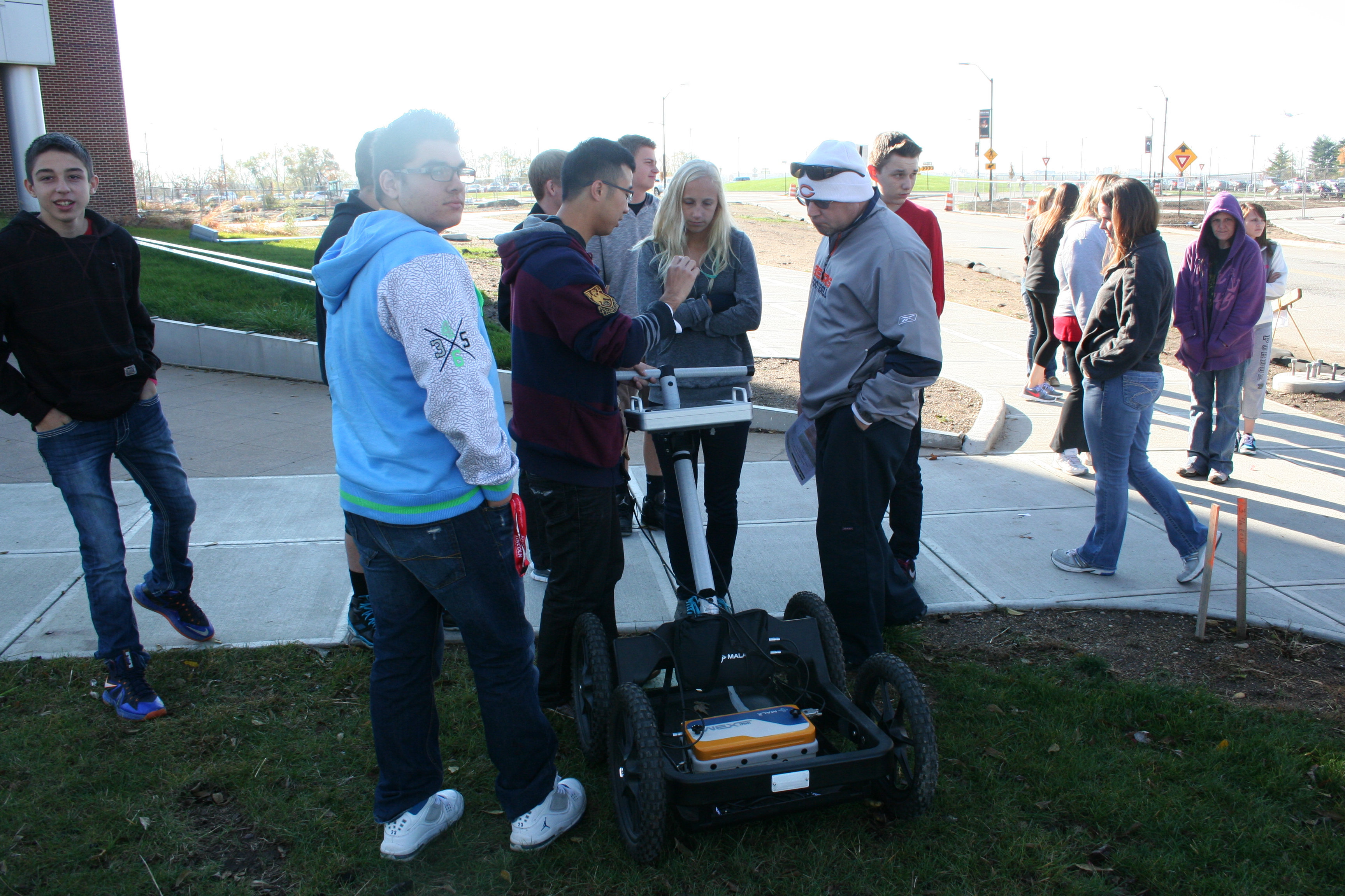
The GIS Day celebration at Purdue started from 2007. This is a great opportunity for the Purdue GIS community to interact with each other, as well as external parties. Each year, the GIS Day event features with invited presentations, student presentations, posters, and career discussions. From 2012, GIS Day at Purdue begins to include K-12 activities, so that school age students can have opportunities to learn about GIS at Purdue. The GIS Day publications are available at: http://docs.lib.purdue.edu/purduegisday/.